Trails
Jackrabbit Interpretive Trail:
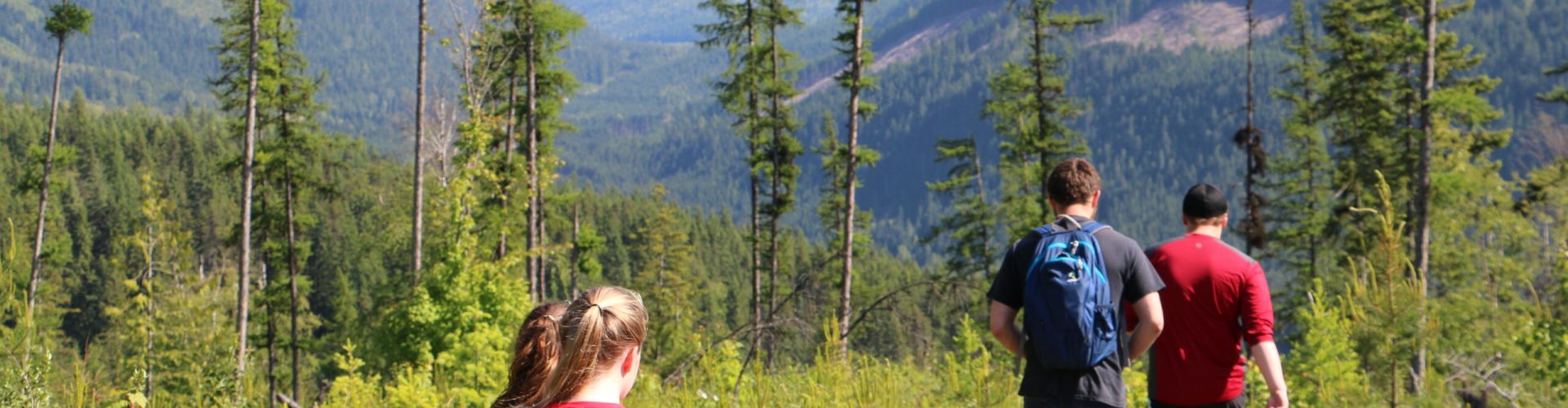
The Jackrabbit Interpretive Trail was created for the purpose of expansion and enhancement of existing recreational opportunities in the Nakusp area. This trail, about 4km, one way, is located in the Wensley Creek area. Close to Nakusp, it is easily accessible for recreational use, such as hiking, biking, horseback riding, and other outdoor enthusiasts. This interpretive trail provides users with an educational experience of the surrounding vegetation, the history of the area, and wildlife identification. Download the map below for access to the trailhead, it is geo-referenced for use on your mobile device.
Jackrabbit Interpretive Trail FAQ’S
1 What is it?
The project focused on the expansion and enhancement of existing recreational opportunities in the Wensley Creek area. Signage and brochures were designed to create an interpretive forest trail within an area that is already well used by hikers, bikers, horseback riders, cross country skiers, and other outdoor enthusiasts.
2 Why the Wensley Creek area?
There are lots of good reasons to choose this area. It’s already a designated recreation area by the Ministry of Tourism, Arts and Culture. It’s already a popular multi-use area. It’s within Nakusp and Area Community Forest’s operating area. And its proximity to town makes it accessible to many users.
3 What are the benefits of the project?
Environmental: An interpretive trail network supports creative, yet practical and efficient public education. Improved outdoor recreation opportunities also promote increased environmental awareness.
Economic: An expanded trail network increases tourism opportunities and the project provided short-term job opportunities with the potential for follow-up projects.
Social: The trail construction project provided an opportunity to improve worker skills and to facilitate community pride and cooperation.
4 Who were the funders and partners?
Nakusp and Area Community Forest (NACFOR) and Arrow Slocan Lakes Community Services (ASLCS) partnered to obtain project funding.
ASLCS’ Outreach program – trail building labour administration, including securing funding from Canada Employment Program.
Columbia Basin Trust – funding from Community Initiatives Program and Environmental Initiatives Program.
Nakusp Trails Society – project support, signage installation and trail maintenance.
Ken Barisoff and Wulf Mense – building a kiosk for trailhead
Arrow Lakes Cross Country Ski Club – support and collaboration for project
Ministry of Forests, Lands and Natural Resource Operations – kiosk materials NACFOR administered project planning and operations as well as developed the signage and brochure.
5 What is the status of the project?
The trail has been constructed and is in use. The kiosk and interpretive signage are all in place, and the brochure has been completed.
Arrow Park Trail:
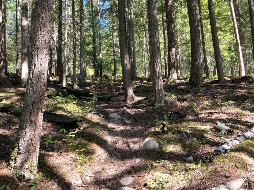
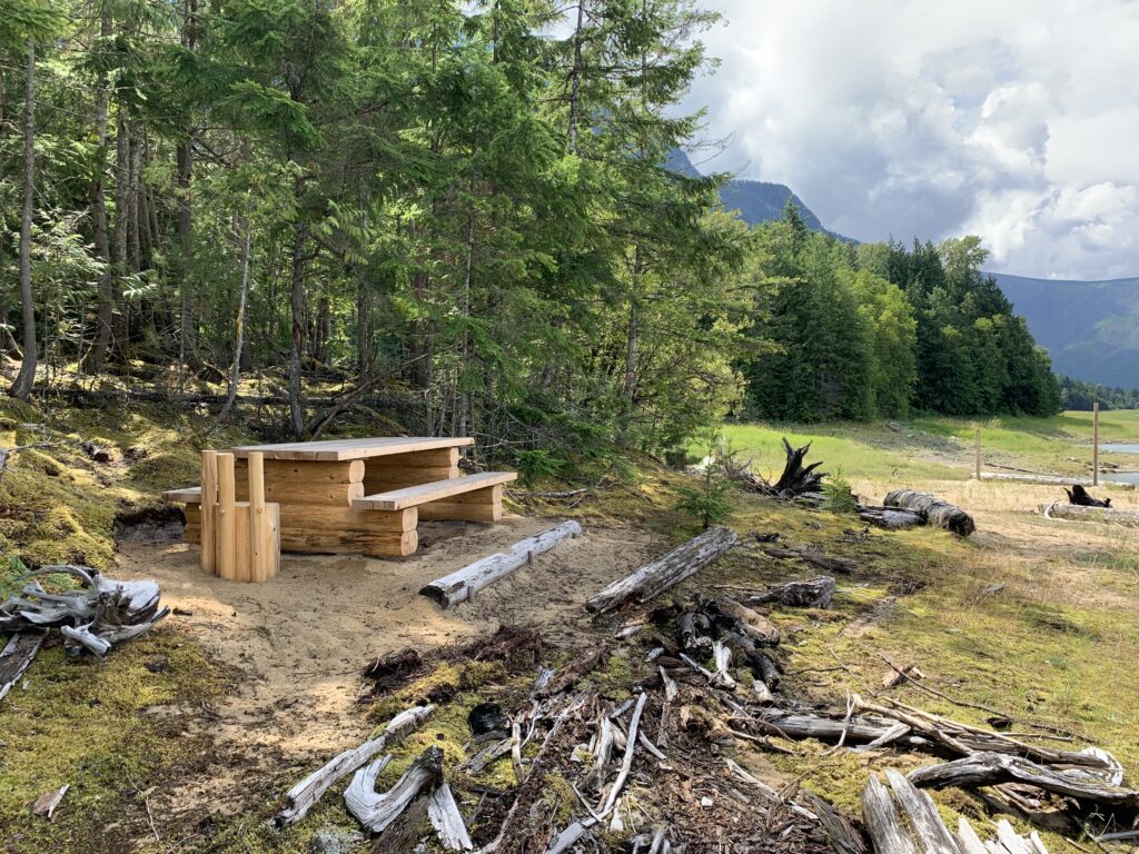
The Arrow Park Recreational Trail is an easy hike for users, with access to the beach and picnic spots overlooking Arrow Lake. The trail traverses through moderately rolling terrain and mature forest that was selectively logged between 1900 and 1940 and is now part of the working community forest. Old logging tracks are still visible and the trail follows the old highway in some places. The trail traverses through several recent harvested openings providing trail users with an opportunity to better understand managed forests and the reforestation processes. This trail is an excellent educational resource for School District #10 due to its accessibility and proximity to Nakusp, Burton, and Edgewood schools. The picnic site offers good access to the shore for boaters on Arrow Lake.
Trailhead access: From Highway 6 approximately 18 km south of Nakusp towards Burton/ Fauquier, with a parking area located adjacent to the highway. It is 5 km from McDonald Creek Park (towards Burton/ Fauquier) and 2 km East of Rock Island Road (heading towards Nakusp).
The Arrow Park Trail is under tenure with Rec Sites and Trails BC and is designated as Multi-Use (Non-Motorized). It is excellent for hiking, biking, horseback riding, cross-country skiing, and snowshoeing. NACFOR has funded the construction of the trail with some financial and in-kind help from Columbia Basin Trust, Rec Sites and Trails BC, the Regional District of Central Kootenay, and Columbia Power.
Galena Bay Trail:
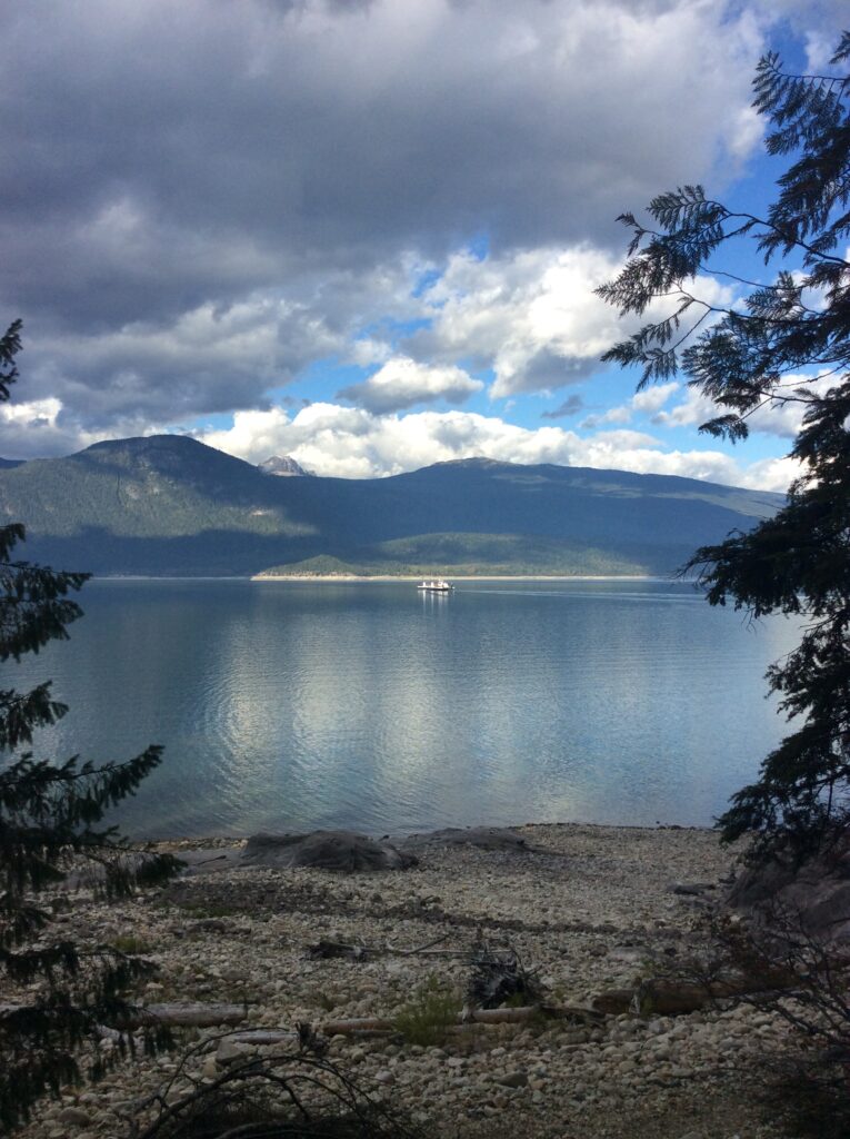
The Galena Bay Trail is a short loop trail (750m) with two beach accesses and a hill-top viewpoint, located at the Galena Bay ferry landing on Highway 23 north of Nakusp. Its location makes it an excellent place for the whole family to explore and get a bit of exercise while waiting for the ferry. Explore the trail via the access trailhead at the Galena Bay ferry landing, to the left of the vehicle lanes.
The Galena Bay Trail is under tenure with Rec Sites and Trails BC and is designated as Multi-Use (Non-Motorized). It is most suited to hiking, biking, and snowshoeing. NACFOR has funded the construction of the trail with some financial and in-kind help from Columbia Basin Trust, Rec Sites and Trails BC, the Regional District of Central Kootenay, and Columbia Power.